

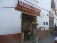
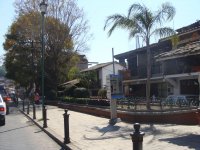
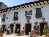
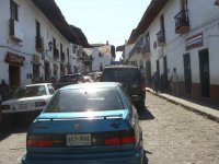
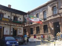
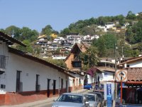
Valle de Bravo is one of the most beautiful places in the state of Mexico and in the entire country. It boasts beautiful colonial arquitecture and a warm climate. You should not forget to include Valle de Bravo in your travel plans.
|
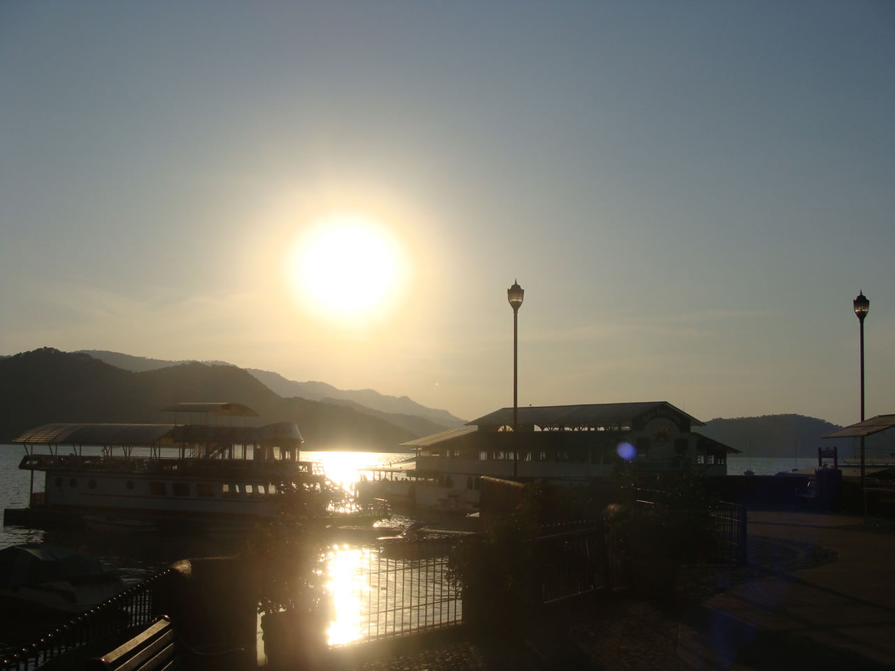
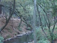
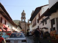
A plethora of activities and places to visit makes it impossible to dedicate only one day to Valle de Bravo. We recommend taking at least three days to get to know Valle. You’ll enjoy walking through its cobbled, colonial streets, taking a walk by the lake and contemplating the sunset. You may also enjoy the charm of its breathtaking forests, rivers and waterfalls HISTORY Valle de Bravo was founded in 1530 and was originally called “San Francisco del Valle de Temascaltepec”. It received its actual name in 1861 to honor General Nicolas Bravo. Temascaltepec means “The hill where the temascales are” in Nahuatl. The first to settle here were the Matlazincas and after the Aztec’s empire defeat to Spain, Franciscan monks arrived at the area which at the time was called “Villa del Valle” in 1523, under the supervision of Fray Gregorio Jimenez de la Cuenca. Later, it was run by Dominican monks. Not until 1899 was construction of the Municipal Palace started. |
|
||||||||||||||||||||||
|
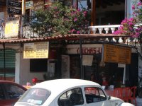
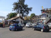
PLACES TO VISIT Main sites More places to visit: |
| ACTIVITIES - THINGS TO DO
Four wheelers.- They are available for rent to cross several parts of the Valley. |
TRADITIONAL CELEBRATIONS
De Las Almas Festival- October of every year
LOCATION/HOW TO GET THERE
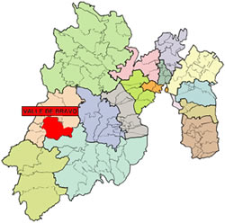
Valle de Bravo is located on the southeast of the state of Mexico. It sits next to the Balsas River. It borders to the north with Donato Guerra, to the south with Temascaltepec, to the west with Ixtapan del Oro, Santo Tomas de los Platanos and Otzoloapan.
There are 4 ways to get there.
1. Zitacuaro highway (more expensive and longer but with better roads)
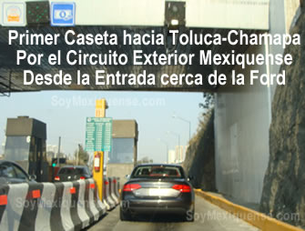
If you are getting there from the north of the state of Mexico (Tepotzotlan), take the Circuito Exterior Mexiquense. From there head toward Toluca-Chamapa. Continue on past Naucalpan and Tlalnepantla. Take the Valle de Bravo exit which you will find once you’ve passed Lerma. Estimated time is two and a half hours.
If you are coming from Toluca, take libramiento Bicentenario on Paseo Tollocan and continue on Federal highway No. 15.
 |
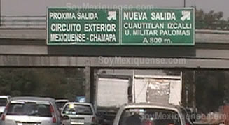 |
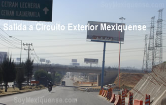
| Circuito Exterior Mexiquense Exit. If you are getting there from Tepotzotlan heading to Lecheria. | Circuito Exterior Exit. If you are getting there from Lecheria heading to Cuautitlan Izcalli. |
 |
|
| First Toll Booth at Circuito Exterior mexiquense towards Toluca-Chamapa. | |
2. Los Saucos route (82 km.)
The most direct route if you are heading out from Toluca, take road 134 to Temascaltepec passing through the town of Oxtotilpan where you will find the Valle de Bravo exit.
3.Villa Victoria route (96 km.)
A longer distance with fewer curves. From Toluca take the road 15 to Zitacuaro and having passed Villa Victoria, you will find the Valle de Bravo exit.
4.-Amanalco route (72 km.)
A shorter distance though there are more curves. From Toluca take federal highway 1 heading through Amanalco de Becerra.
MORE INFORMATION ON VALLE DE BRAVO
- http://www.valledebravo.gob.mx
- http://www.todovalle.com
- http://es.wikipedia.org/wiki/Valle_de_Bravo
- http://conocevalle.com
Galery:
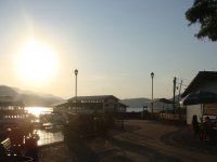
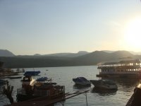
Lago o Presa Valle de Bravo

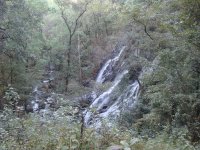
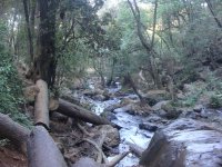
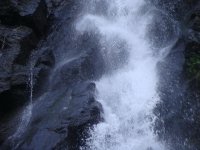
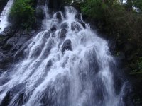
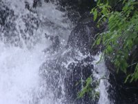
Cascada Velo de Novia
- Cascada Velo de Novia_8
- Hits: 11343
- Cascada Velo de Novia_21
- Hits: 9551
- Cascada Velo de Novia_14
- Hits: 10525
- Cascada Velo de Novia_5
- Hits: 10362
- Cascada Velo de Novia_23
- Hits: 19893
- Cascada Velo de Novia_25
- Hits: 7847
Zocalo (Downtown)
- Zocalo Valle de Bravo_6
- Hits: 2361
- Zocalo Valle de Bravo_1
- Hits: 2329
- Zocalo Valle de Bravo_10
- Hits: 2439
- Zocalo Valle de Bravo_5
- Hits: 2356
- Zocalo Valle de Bravo_11
- Hits: 2419
- Zocalo Valle de Bravo_7
- Hits: 2392
More Valle de Bravo Pictures
- Valle de Bravo_19
- Hits: 2513
- Valle de Bravo_30
- Hits: 4715
- Valle de Bravo_6
- Hits: 2431
- Valle de Bravo_7
- Hits: 2511
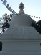
- Valle de Bravo - Stupa 2
- Hits: 4920
- Valle de Bravo_22
- Hits: 2551